Consulting
Restoration & ecology
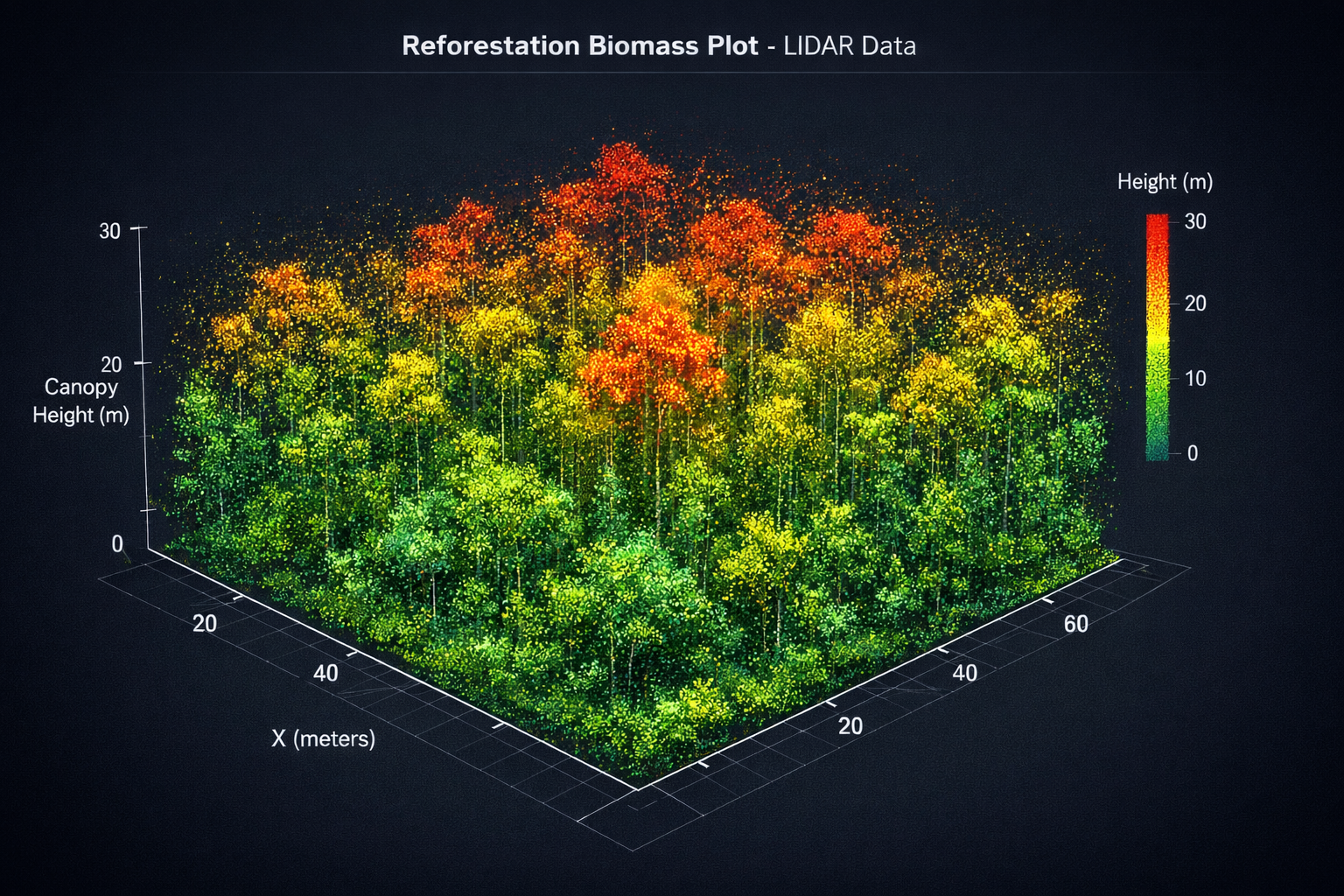
Planning, monitoring design, and GIS-driven analysis for terrestrial and riparian restoration projects.
- Baseline and constraint mapping
- Monitoring design and QA/QC
- Decision-ready maps and reporting
We support restoration teams with ecological consulting, agroforestry expertise, and open, auditable GIS tools—so you can plan, monitor, and communicate outcomes with confidence.
Choose your pathPlanning, monitoring design, and GIS-driven analysis for terrestrial and riparian restoration projects.
Design and analysis for tree-based production systems that improve biodiversity, water, and long-term resilience.
Carbon-specific diligence carried over from the older Sorus site: baseline realism, MRV readiness, geospatial QA, and credit-risk analysis.
QGIS plugins, web tools, and reproducible workflows used inside engagements—shareable when it helps the ecosystem.
We combine ecology, GIS, and software so decisions stay traceable: assumptions are explicit, methods are documented, and outputs are usable by practitioners.